36×48 inches oil on linen 2014;sgnd BL West Fraser (c);
Latitude- 32°40’43.63″N: Longitude- 80°24’57.68″W;
Lane property-PRIVATE
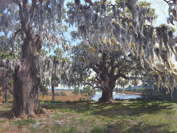
(Wilton; New London) Willtown was the second planned town to be established after the relocation of Charleston in 1682. It was one of two South Carolina precincts prior to the 1706 Church Act, and after that date served as a local governmental center (polling place, court of pleas, magistrate court). It was militarily important in the protection of the frontier and served as a regional commercial center. Willtown was located on a 25 foot high bluff overlooking the South Edisto River, called the Pon Pon River in the 18th century. The town site is almost all level, its lawn interspersed with large oak trees. Only the northern section is wooded and three early-nineteenth century buildings are located on the cleared portion: the ca. 1836 Parsonage, the ca. 1820 Willtown Plantation House, and the remains of a single column of the ca. 1836 Episcopal church. Unexposed remains are of a colonial village thought to have had 80 houses. The town was divided into 62 blocks with most having four one-acre lots. There were 17 streets with blocks set aside for an Episcopal church and a school. A market and a town garden were also provided locations. Listed in the National Register January 8, 1974.